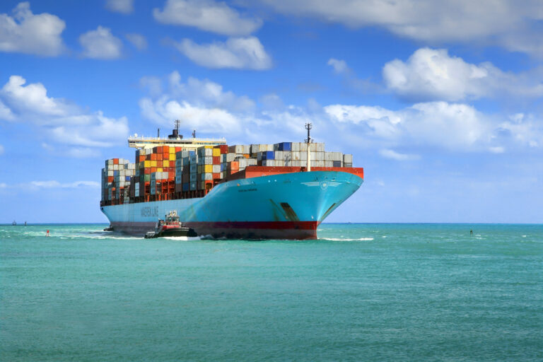
In May, global shipping container company Maersk agreed to sign up its entire owned fleet of 300 vessels to a voluntary network of ships reporting weather data from the world’s oceans.
The announcement was a welcome shot in the arm for the global network, known as the Voluntary Observing Ship (VOS) scheme, which has struggled in recent decades to recruit vessels to supply it with the ship-based weather observations vital for forecasting.
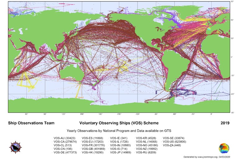
“Right now we have about 2,500 vessels from around 25 nations taking part in the scheme,” says Henry Kleta, the global lead of the VOS scheme. “So to suddenly have one company saying, ‘Okay, here are 300 vessels, go for it!’ – it’s a big chunk added to our network.”

The idea of an international system for the collection and sharing of weather data from ships has a long history, dating back to 1853 and the first ever international meteorological conference. Following the conference, a number of countries began sharing weather observations from their fleets and in 1976 the importance of volunteering weather data was even ratified into international law via the International Maritime Organization’s (IMO) Safety of Life at Sea (SOLAS) convention.
But despite these provisions, Kleta notes that changes in the global shipping industry have made it harder to sustain the VOS program, which is run by national weather services and overseen by the Global Ocean Observing System (GOOS), an international partnership of ocean weather observing networks that sits within the Intergovernmental Oceanographic Commission (IOC) of UN agency UNESCO.
One of the problems has been less stability in shipping routes. “Until about 10 years ago a vessel would usually sail the same route for several years, but today it’s more changeable,” he says.
This lack of consistency makes it much harder to keep track of vessels taking part in the scheme, according to Kleta. “It can actually happen – in fact it happened to us this year – that we put one of our systems on board a vessel while in port and never see it again.”
Another problem, notes Kleta, has been a trend toward small crews, which has increased the workload of sailors. Asking overworked sailors to take on the extra burden of weather observations has proved difficult, especially when there is no financial incentive. He adds, “Sometimes they just don’t want to do it. After all it’s voluntary; they get nothing out of it.”
Automating the process
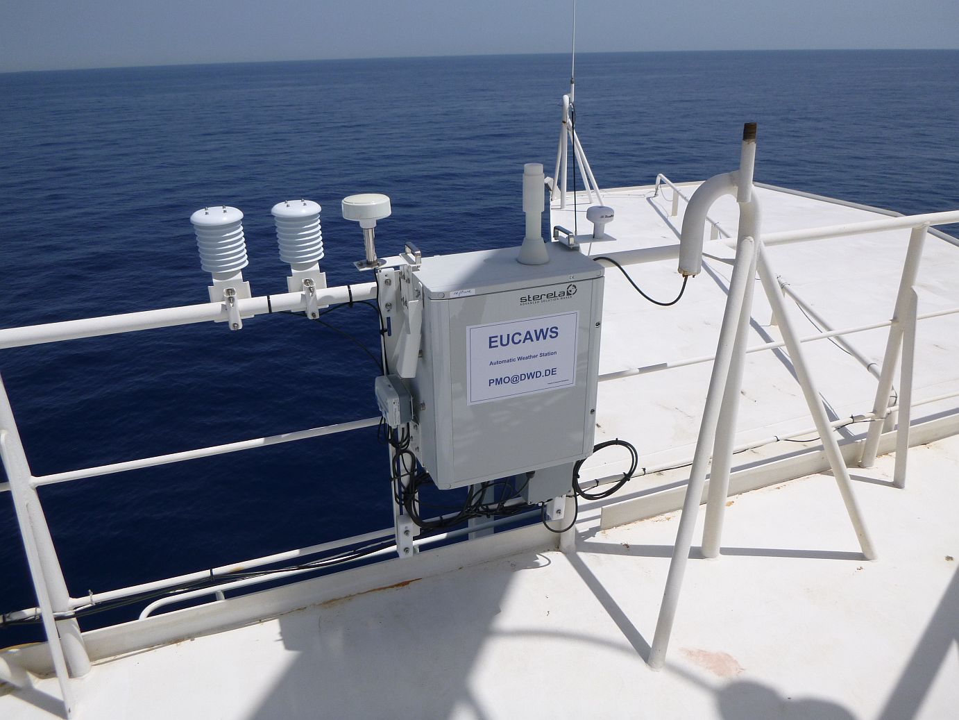
In part as a result of this, in recent years the VOS has been shifting from manual observation to automated weather stations (AWS) installed on board ships. The AWS have sensors to measure a number of key parameters, most importantly atmospheric pressure, temperature and humidity.
“We try to connect a wind sensor if we have a chance but it’s a bit trickier to put that on because
it needs to be somewhere on top of the mast, so it means more cabling,” he says. “For oceanography
and climatology, sea surface temperature is also very important but that is one of the most expensive to install because the AWS is usually somewhere on top of the ship, so it means fitting cabling all the way down through the vessel.”

Another major challenge is data transmission, according to Kleta. “Most vessels do not want us to connect to their IT systems for security reasons, so we always try to put our own satellite communication on there.”
The data sets are transmitted hourly and distributed to national weather services throughout the world. Since the AWS systems are pushing out data 24/7 regardless of whether a ship is at sea or docked, the shift to automated observations has meant a huge increase in data, notes Kleta.
He gives the example of Germany, where out of roughly 470 vessels involved in the scheme only about 50 are fitted with AWS. But despite this small proportion, AWS systems provide 70-80% of all the data. “So the advantage is we get more data – and more precise data because no one can misread an instrument. But the drawback is we do not get any visual observations,” he says.
Data accuracy
This lack of visual observations means that certain parameters, such as wave height, cannot be calibrated. Automated systems can also experience interference depending on how and where the weather station is housed on board, according to Darin Figurskey, global lead for the GOOS-run Ship Observations Team (SOT) and a forecaster at NOAA. “The way the ship is oriented into the wind or if there are obstructions, such as a smokestack, can interfere with the wind and make it a little less accurate,” he says. “A person taking that measurement manually could probably filter out that interference.”
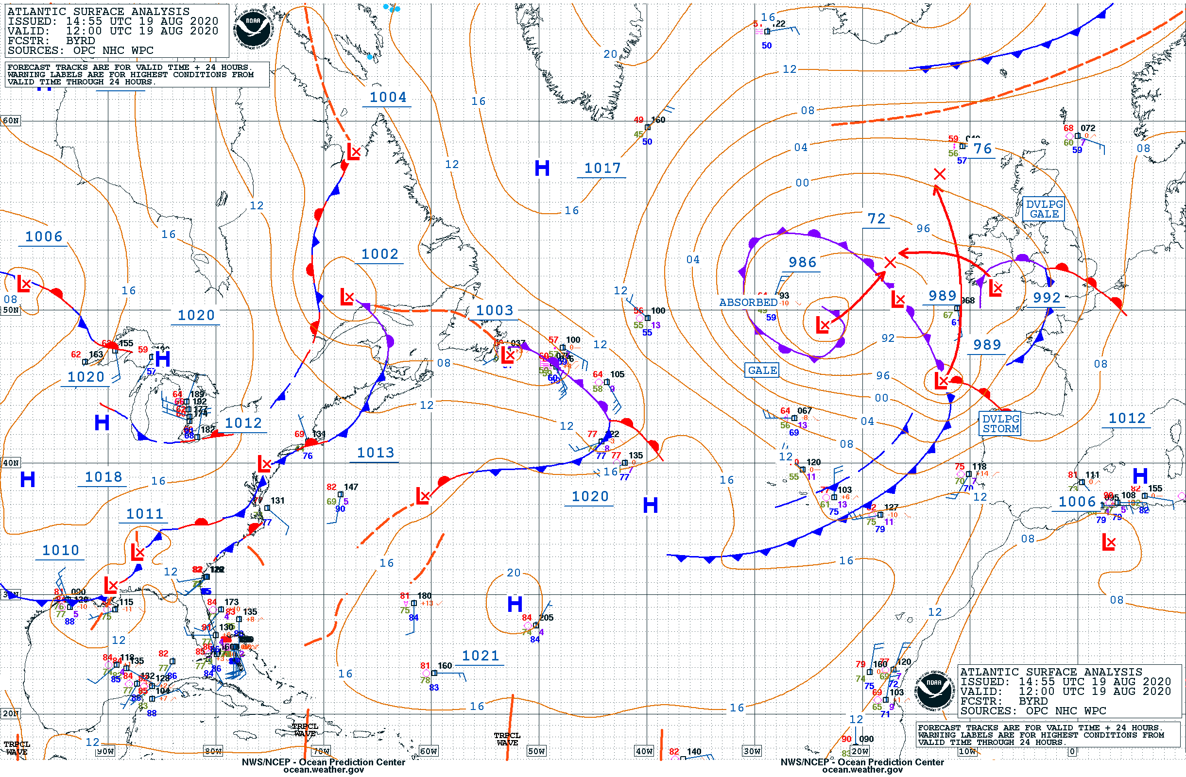
The weather observations collected through the VOS scheme are used by national weather services in their forecasting. Although some of the data sets – such as windspeed and wave height – can already be measured by weather satellite, the VOS data plays a vital role in confirming the accuracy of the satellite data, according to Figurskey. He says, “They validate what we’re seeing on the satellites and so help to make the computer models more accurate.”
More importantly, the VOS observations include data sets that satellites cannot measure, notably atmospheric pressure at the ocean’s surface. Surface pressure is an extremely important parameter for helping forecasters understand how ocean weather systems form and transfer onto land, according to Emma Heslop, program specialist at GOOS, which oversees 11 ocean observing networks including VOS.
Another important ocean measurement, especially as a predictor of hurricanes, is the sea’s subsurface temperature. The VOS system is unable to measure subsurface temperature, but other networks within the GOOS partnership can. Through these ocean observations the partnership is able to provide weather services with data that helps shape national forecasts.
Heslop says, “If you take the example of a weather system that forms off the eastern seaboard of the USA, tracks across the Atlantic and then reaches the UK, all observations that the forecaster has in its pathway are going to help make their model representation of that weather system more accurate.”
As science’s understanding of the influence the oceans play in global weather grows, the data collected by VOS and its GOOS partners can be useful for national forecasters. But it is even more relevant for coastal nations. Heslop explains, “For coastal nations, ocean observations have an additional importance – for predicting ocean hazards such as storm surge and flooding, and also because for many of them the ocean is a vital part of the economy. This is particularly true for small island nations where in some cases the ocean might make up 80% of the economy.”

Benefits for shipping
As well as national forecasters, the other big beneficiary of the VOS program is of course the shipping industry itself. The world’s oceans are divided into regions, with each region overseen by a particular country. It is therefore the responsibility of that country’s national forecaster to produce the vital ocean weather warnings on which shipping relies to stay safe at sea.
And since some of the data that informs these warnings is coming from the VOS program, there is, says Kleta, “a kind of direct feedback loop back to the sailors”. This reality is not lost on company’s such as Maersk, which understands the value of the data it is collecting both for its safety and the economic well-being of its operations, Kleta notes.
He adds, “They rely on good weather forecasts for safety of life at sea and for economic reasons, because if they can avoid bad weather they can travel more quickly and reduce their carbon footprint by saving fuel.”
Yet in spite of Maersk’s recent fleet commitment, the overwhelming majority of shipping does not participate in the VOS program. This fact, coupled with the reality that the shipping industry does not go to many regions of the oceans – and where it does go it tends to hug the coast – means that most of the ocean remains an information black hole for in situ forecasting.
“Most of the world’s oceans, especially the southern oceans but even a lot of the northern oceans, are under-sampled from the standpoint of non-satellite data,” says Figurskey.
Bridging this information gap via a centralized system such as VOS may be unrealistic in the long term, he believes. He thinks that a better solution might be a crowdsourced system working in tandem with VOS. As a good example from the world of meteorology, he cites the Community Collaborative Rain, Hail and Snow Network (CoCoRaHS), a crowdsourced network of amateur meteorologists who record precipitation levels – often in their backyards – using low-cost measurement tools. The network, which began in Colorado in the late 1990s as a way to combat a local problem of flash flooding, now comprises 20,000 active observers across North America.
“Imagine if we could fit out as many ships as are in the CoCoRaHS program with a pressure sensor, wind instrument or thermometer, or whatever they would be willing to put on their vessels,” says Figurskey. “It would help meteorologists understand better what’s going on and get more data into the models, meaning we could provide better forecasts and warnings.”
This article was originally published in the September 2020 issue of Meteorological Technology International


