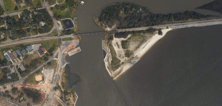
The US National Geodetic Survey (NGS), part of NOAA (the National Oceanic and Atmospheric Administration), has begun collecting aerial damage assessment images in the aftermath of Hurricane Sally.
According to the agency, imagery is being gathered in specific areas identified by NOAA in coordination with state and federal partners. Collected images are publicly available to view online via the NGS aerial imagery viewer.
NOAA notes that there are many uses for this aerial imagery, for example, in aiding safe navigation of affected waterways and assessment of damage to coastal areas caused by the storm. On this latter point, it highlights that the aerial imagery is a crucial tool for determining the extent of the damage inflicted by flooding, and for comparing baseline coastal areas to assess the damage to major ports and waterways, coastlines, critical infrastructure, and coastal communities.
As of September 22, the agency had published imagery of the following areas.
September 18: – Counties surrounding Mobile, Alabama, and Pensacola, Florida; Navarre, Florida; Graffiti Bridge, Pensacola, Florida; Pensacola Bay Bridge, Pensacola, Florida
September 19: – Outer coast areas from Mobile, Alabama, and inland of Orange Beach and Penasacola, Florida
September 20: – Coast areas east of Destin, Florida, along the coast to Panama City Beach, Florida


