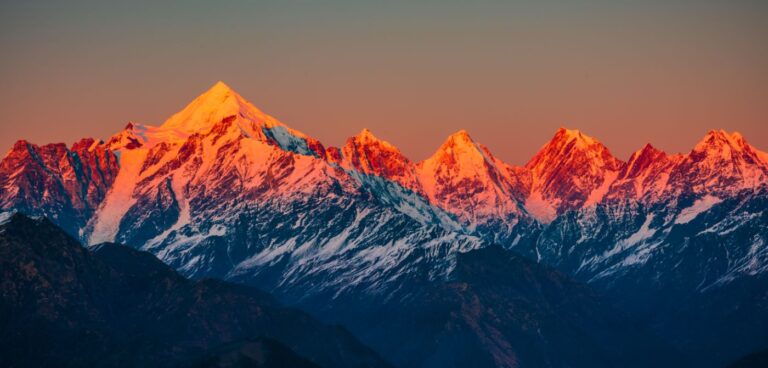
A study led by the University of Reading in the UK has found that the amount of winter rain and snow in the western Himalayas could vary by almost 50% depending on the air pressure gradient over the Atlantic Ocean between the Azores and Iceland.
The new research, published in Climate Dynamics, focused on the correlation between the fluctuating phases of the North Atlantic Oscillation (NAO) and winter rain and snow in the western Himalayan region. During a positive NAO phase, the strong contrast between high pressure around the Azores and low pressure around Iceland forces the North Atlantic jet stream northwards, which in turn causes more instability in the subtropical jet stream that runs over Africa toward India.
The additional disturbances in the subtropical jet are carried as storms to northwest India. The research showed that winter storms in the region were on average 20% more frequent and 7% more intense during a positive NAO phase, compared to a negative phase. This increased to 31% more frequent winter storms in areas that already see them most often. This resulted in 40% more moisture being carried along the subtropical jet on average, and therefore 45% more rain and snow in the western Himalayas in winter months during a positive NAO phase. The increase in storms in northwest India is likely to affect states such as Jammu and Kashmir, Punjab, Gujarat and southern Pakistan. These are mostly rural areas but do contain cities such as Srinagar, Peshawar, Jodhpur, Hyderabad and Karachi.
The study used 70 years of data from the Reading-based European Centre for Medium-range Weather Forecasts (ECMWF) and other organizations, as well as rainfall gauge data from the western Himalayan region provided by the Indian Meteorological Department. The authors found the correlation was strongest within the 2-3 and 12-16 year cycles in NAO variation. The slow variations in NAO offers scope for improving the forecasting of wetter or drier-than-average northwest Indian winter weather up to three months in advance. As well as winter rain supporting crops grown during this time, snow that falls on the Himalayas melts to feed rivers during the spring, making this vital to India’s water security.
Further work is needed to further investigate the correlation identified by this study, why the speed at which the NAO impacts Western Himalayan rainfall varies from zero to six months, and whether there is any impact on the winter monsoon in southern India and Sri Lanka. However, the university pointed out that the study provides evidence that could lead to better forecasting of winter precipitation levels in India, months in advance. The results could be used to improve yields of important crops, such as wheat and barley, and to help manage vital water supplies in the country.
Dr Kieran Hunt, a research scientist in tropical meteorology at the University of Reading and lead author of the study, said, “Despite being several thousand miles apart, we have known that pressure patterns over the North Atlantic have some influence over winter weather in the western Himalayas. However, making sense of that link and how strong it is has puzzled scientists for years. The link we have found could be incredibly useful for states and rural communities in northwest India that rely on winter rain and snow for supplies of food and water. Advance notice of any shift toward wetter or drier weather from observing the North Atlantic could be a lifeline in preparing for water shortages, or even flooding.”
Dr Hunt said, “Climate change may also have a hand in the amount of winter rain and snow seen in northwest India in future, as the shape and position of the North Atlantic jet stream and the strength of the subtropical jet are expected to be affected as the planet warms. This has potential implications for the jet stream that fuels storms in India.”


