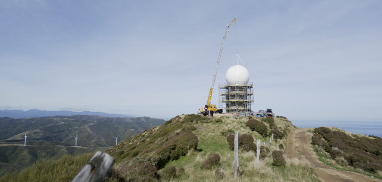
New Zealand’s meteorological service MetService has completed a major upgrade of its Wellington weather radar.
The NZ$2.1m (US$1.3m) upgrade involved replacing the 30-year-old radar with new technology and strengthening the radar tower to meet modern seismic standards. The radar uses the latest dual polarisation C-band technology which can identify different types of precipitation, be it rain, hail or snow.
The radar site is located on Outlook Hill, 11km southwest of downtown Wellington (New Zealand’s capital city) and 540m above sea level. It provides coverage out to 300km encompassing the lower North Island and upper South Island and Cook Strait – the sea that separates the two main islands of New Zealand. This is the sixth radar in MetService’s network of 10 that now operates dual polarization technology. The Canterbury radar near Rakaia is next in line for an upgrade in summer 2024/25.
Stephen Hunt, chief executive at MetService, said, “We’re so pleased to be able to invest in providing even better rain and weather radar services and enhanced forecasts and severe weather warnings for everyone in the lower North Island and upper South Island. The upgraded radar provides more detailed information for our meteorologists, which means we have a much clearer picture of what’s happening in the atmosphere during weather events. As the authorized provider of severe weather warnings, we are always looking to continually improve our forecasting tools and enhance our forecasting abilities – it’s imperative as we know that these warning services are crucial in our changing climate.”
Kevin Alder, manager of MetService’s meteorological data services who oversees the weather observation network, commented, “This upgrade is part of MetService’s ongoing investment in the New Zealand weather radar network, funded through a contract with the Ministry of Transport.”


