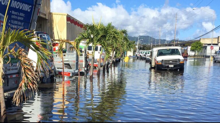
A new study from the NASA Sea Level Change Team from the University of Hawaii has revealed that from the mid-2030s every US coast will experience rapidly increasing high-tide floods as a result of the alignment of rising sea levels with a lunar cycle.
The study, which takes into account all known oceanic and astronomical causes for floods, found that high tides will exceed known flooding thresholds around the country more often. Furthermore, the floods will sometimes occur in clusters lasting a month or longer, depending on the positions of the Moon, Earth and the Sun.
“Low-lying areas near sea level are increasingly at risk and suffering due to the increased flooding, and it will only get worse,” said NASA administrator Bill Nelson. “The combination of the Moon’s gravitational pull, rising sea levels and climate change will continue to exacerbate coastal flooding on our coastlines and across the world. NASA’s Sea Level Change Team is providing crucial information so that we can plan, protect and prevent damage to the environment and people’s livelihoods affected by flooding.”
The researchers uncovered their findings by studying 89 tide gauge locations in every coastal US state and territory, apart from Alaska. They created a new statistical framework that mapped NOAA’s widely used sea level rise scenarios and flooding thresholds, the number of times those thresholds have been exceeded annually, astronomical cycles, and statistical representations of other processes, such as El Niño events, that are known to affect tides. They projected results to 2080.
Ben Hamlington of NASA’s Jet Propulsion Laboratory in Southern California is a co-author of the paper and also the leader of NASA’s Sea Level Change Team. He noted that the findings of the new study are a vital resource for coastal urban planners, who may be focused on preparing for extreme events rather than more high-tide floods.
“From a planning perspective, it’s important to know when we’ll see an increase,” Hamlington said. “Understanding that all your events are clustered in a particular month, or you might have more severe flooding in the second half of a year than the first – that’s useful information.”


