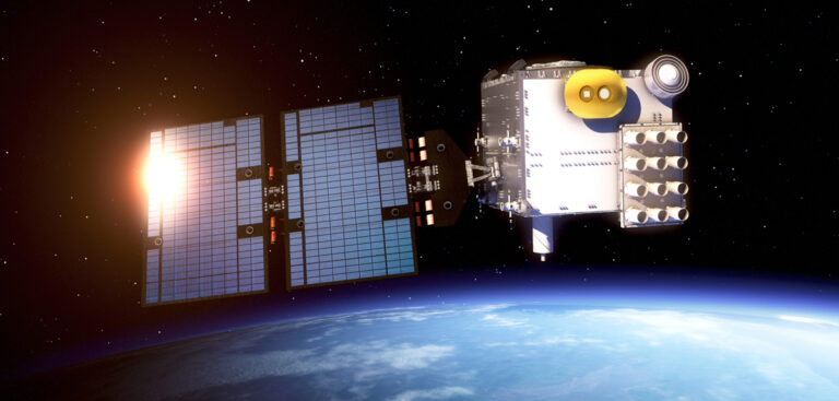
A new joint US-Taiwanese satellite system is likely to significantly improve short-term weather forecasts according to newly released data from the project.
The COSMIC-2 constellation of six small satellites was sent in to orbit last June with the goal of improving forecasts of hurricanes and other major storms.
Equipped with an array of innovative sensors, the system will also provide crucial data about upper atmospheric disturbances that can impact global communications and power grids.
The University Corporation for Atmospheric Research (UCAR) – a US non-profit consortium of American universities, and one of the partners in the project – has released the first data from COSMIC-2 (Constellation Observing System for Meteorology, Ionosphere and Climate).
The data release – in partnership with the National Oceanic and Atmospheric Administration (NOAA) – comes from more than 4,000 daily soundings, or profiles of the atmosphere that include data on temperature, humidity and pressure.
Bill Schreiner, director of the UCAR COSMIC program, described the data as “looking very good”, adding that the “mission is absolutely a success so far”.
Prior to this data release scientists spent the past few months moving the satellites into their operational orbits and verifying instrument performance.
Once the system goes fully operational at the end of February it is expected to produce close to 5,000 daily soundings, says UCAR.
Schreiner said that meteorologists that had analyzed the data found “significant improvement in short-range forecasts when they assimilate the COSMIC-2 data into their models.”
He added, “This is evidence that COSMIC-2 will improve their forecast systems.”
COSMIC-2 is a partnership between UCAR, NOAA, the US Air Force, the US National Science Foundation and the Taiwan National Space Organization. In Taiwan the system is known as Formosa Satellite #7 (FORMOSAT-7). It is the second generation of the project which began with the launch of the COSMIC system in 2006.
COSMIC-2 gathers climate data from Earth’s atmosphere using radio occultation, a technique that relies on measuring GPS radio signals as they pass through the atmosphere.
Since a denser atmosphere causes these signals to bend more, measuring the degree of bending can provide scientists with vital data on the temperature, pressure and humidity levels in Earth’s upper atmosphere.


