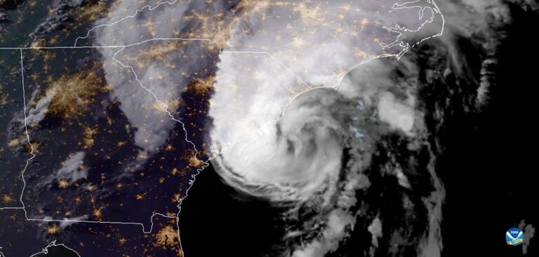
An ‘extremely active’ hurricane season is possible in the Atlantic Basin, according to forecasters with the National Oceanic and Atmospheric Administration’s (NOAA) Climate Prediction Center, a division of the US National Weather Service.
Atmospheric and oceanic conditions are primed to fuel storm development in the Atlantic, according to the agency’s annual August update to the Atlantic Hurricane Season Outlook, initially issued in May.
The reports detail how this year’s Atlantic hurricane season has so far claimed a record-setting nine named storms and has the potential to be one of the busiest ever. Historically, only two named storms form on average by early August, and the ninth named storm typically does not form until October 4. An average season produces 12 named storms, including six hurricanes of which three become major hurricanes (Category 3, 4, or 5).
“This is one of the most active seasonal forecasts that NOAA has produced in its 22-year history of hurricane outlooks. NOAA will continue to provide the best possible science and service to communities across the nation for the remainder of hurricane season to ensure public readiness and safety,” said US Secretary of Commerce Wilbur Ross. “We encourage all Americans to do their part by getting prepared, remaining vigilant, and being ready to take action when necessary.”
The updated outlook calls for 19-25 named storms (winds of 39mph or greater), of which 7-11 will become hurricanes (winds of 74mph or greater), including three to six major hurricanes (winds of 111mph or greater). This update covers the entire six-month hurricane season, which ends on November 30, and includes the nine named storms to date.
A comprehensive measure of the overall hurricane season activity is the Accumulated Cyclone Energy (ACE) index, which measures the combined intensity and duration of all named storms during the season. Based on the ACE projection, combined with the above-average numbers of named storms and hurricanes, the likelihood of an above-normal Atlantic hurricane season has increased to 85%, with only a 10% chance of a near-normal season and a 5% chance of a below-normal season.
Current oceanic and atmospheric conditions that make an “extremely active” hurricane season possible are warmer-than-average sea surface temperatures in the tropical Atlantic Ocean and Caribbean Sea, reduced vertical windshear, weaker tropical Atlantic trade winds and an enhanced west African monsoon. These conditions are expected to continue for the next several months.
A main climate factor behind these conditions is the ongoing warm phase of the Atlantic Multi-Decadal Oscillation, which reappeared in 1995 and has been favoring more active hurricane seasons since that time.
Another contributing climate factor this year is the possibility of La Nina developing in the months ahead. Indicative of cooler-than-average sea surface temperatures in the equatorial regions of the eastern Pacific Ocean, La Nina can further weaken the windshear over the Atlantic Basin, allowing storms to develop and intensify.


