The US National Oceanic and Atmospheric Administration (NOAA) and its partners have released a second application based on the Unified Forecasting System (UFS) framework.
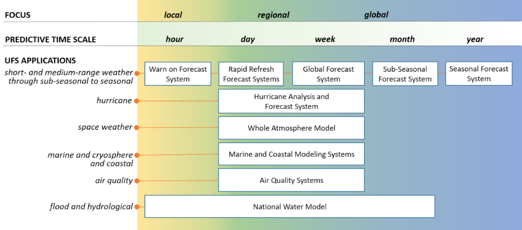
The agency says the new code will enable users to make improvements that focus on the short-range weather applications, critical for life-saving weather and water forecasts in the USA during extreme events such as tornadoes, blizzards, floods and hurricanes. The short-range weather application predicts atmospheric behavior on a timescale from less than an hour to several days.
The release, available through GitHub, is part of an ongoing effort by NOAA to transition to an open, community development paradigm and accelerate the advancement of environmental prediction models.
“This release of a UFS application further demonstrates our commitment to leverage the expertise of the weather community beyond NOAA to accelerate the emerging scientific and technological advancements from research into operations,” said Louis W Uccellini, director of NOAA’s National Weather Service.
The short-range weather application is the foundation of NOAA’s future convection-allowing ensemble forecast system, known as the Rapid Refresh Forecast System, which is the successor to the High-Resolution Rapid Refresh model, or the HRRR.
“NOAA is excited to give the weather research community the opportunity to work with this code before operational implementation,” added Craig McLean, NOAA Research Assistant Administrator. “It opens the door for collaboration much earlier in the model development process, which will maximize the model’s capabilities.”
The short-range weather application was developed by a community of partners from academia, the Developmental Testbed Center, and a cross-NOAA team of scientists from the Global Systems Laboratory, the National Severe Storms Laboratory, the Environmental Modeling Center, and the Storm Prediction Center.
This collaborative approach to sharing model code benefits NOAA operations through its participation in the broader weather and modeling community. The UFS enables NOAA to simplify its production suite of forecasting models from many independent systems, each of which has to be improved and maintained separately, into a single and more streamlined modeling system with fewer, more comprehensive applications. The end goal is a suite of coupled UFS numerical weather models, which span local to global domains and predictive timescales from sub-hourly analyses to seasonal forecasts.
The UFS will be bolstered by NOAA’s Earth Prediction Innovation Center (EPIC), made possible by Congressional authorization in 2019. EPIC will ensure that the UFS efforts are facilitating research and development in the modeling community, whose efforts can then be applied to improve operational forecasts.
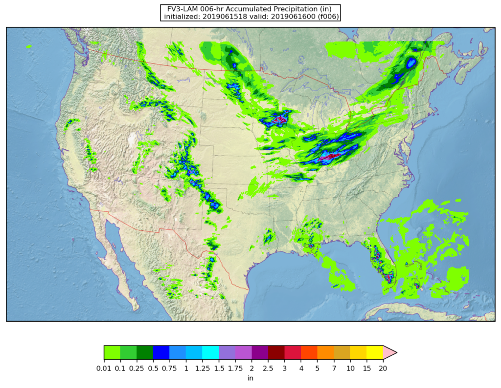
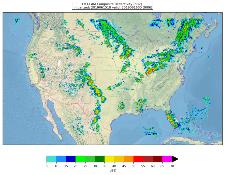
This latest release of code encompasses short-range weather/convection-allowing model atmospheric phenomena from less than an hour to several days, and includes: a limited area modeling capability, pre- and post-processing utilities, the ability to use multiple sources of input data for initial and lateral boundary conditions, an end-to-end workflow, and comprehensive documentation, along with user support.
The UFS is a community-based, coupled, comprehensive Earth modeling system that shares the science components and software infrastructure for weather forecasting.


