Spire Global, a provider of space-based data, analytics and space services, has launched a new weather monitoring and alerting solution designed to improve global weather awareness for the energy, supply chain and logistics industries.
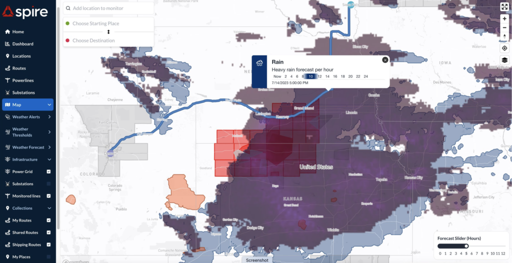
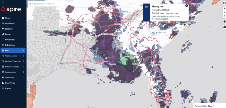
DeepVision is powered by space-driven weather forecasts, global modeling, and machine learning, and provides advanced insights tailored to global supply chain management. The solution can monitor and alert on thousands of moving or static supply chain assets, existing infrastructure, and planned routes in real time. With the visualization platform, customers can proactively monitor weather conditions, anticipate potential disruptions, and take immediate action to mitigate risk and optimize operations.
Mike Eilts, general manager of weather and earth intelligence at Spire, said, “The world is witnessing an increase in extreme and high-impact weather events. Now, more than ever, businesses require highly scalable solutions that can monitor weather impacts and optimize their supply chains. With DeepVision, our customers can weather-proof their supply chains, allowing them to make informed decisions and enhance operational efficiencies in the face of weather-related challenges.”
DeepVision offers an array of features designed to empower businesses to tackle weather-related challenges with confidence including:
- Customized alerting system: users can set specific thresholds and receive timely notifications about weather conditions that may impact their operations, allowing for proactive measures to minimize disruptions.
- Suite of advanced global forecasts: DeepVision provides detailed insights and visualizations of weather conditions along routes or specific regions of interest, enabling informed decision-making and operational optimization. The integration of machine learning principles into Spire’s numerical weather models ensures highly accurate forecasts for specific points of interest.
- Shipment monitoring: Users can track weather conditions along transportation routes, including rail, road, airports and seaports, ensuring the safety and efficiency of supply chain operations through real-time updates and proactive management of weather-related risks.
- Interactive map with thresholds: DeepVision’s interactive map offers a user-friendly interface for visualizing weather data, user-defined locations and customizable thresholds, facilitating strategic decision making based on accurate and relevant information.


