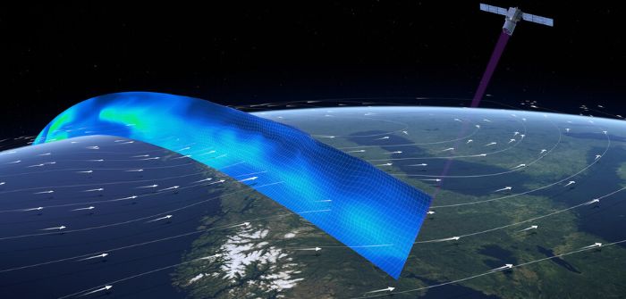
The European Organisation for the Exploitation of Meteorological Satellites (EUMETSAT) has begun making observations about vertical wind distribution available for weather forecasting.
The observations come from the Doppler lidar instrument on the Aeolus, a European Space Agency (ESA) Earth Explorer satellite launched in August 2018.
Aeolus’s Aladin instrument emits pulses of ultraviolet light from a laser to measure the shift of signal backscattered by the different layers of the atmosphere for vertical profiles of wind in the lowest 30km.
Meteorological services in the UK, France, Germany and Norway, and the European Centre for Medium-Range Weather Forecasts have assessed the quality of data and measured improvements in numerical weather prediction.
EUMETSAT and the ESA will provide near real-time wind products to European national weather services and other users of its EUMETCast data broadcasting system and the global community via the Global Telecommunication System.
Alain Ratier, director general of EUMETSAT, said, “We now push Aeolus data in near real time to the 4,000 users of EUMETCast and to the full WMO community, to give the opportunity to every forecast center to familiarize with the novel data and measure their value.”


