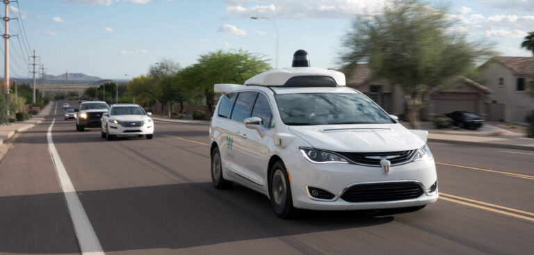
Autonomous ride-hailing service Waymo has developed a localized fog map for its vehicles that combines precipitation data collected by the sensors on its vehicles with weather visibility data from sensors on the ground, providing its autonomous fleet with a tool that tracks the progression of coastal fogs.
The core sensing suite on Waymo vehicles already use the detection of raindrops to classify various weather conditions for its Waymo Driver AV software. By combining this data with high-quality ground-truth data from weather visibility sensors, Waymo was able to generate a quantitative metric about meteorological visibility.
The metric enables the Waymo Driver to conduct a quantitative analysis of the weather around the vehicle in real time to make sense of whether it’s foggy, raining, or something else, and distinguish the intensity of said weather condition. Each Waymo vehicle operates as an autonomous ‘mobile weather station’, providing a greater understanding of the weather in the areas driven.
To further improve the accuracy of localized weather information, particularly for weather conditions near the road surface, Waymo has combined the information from its fleet of mobile weather stations with millions of data points about the weather to develop a first-of-its-kind fog map that enables the autonomous fleet to track the progression of coastal fogs as they flow in from the Pacific Ocean and burn off as the sun rises later in the morning. It can even detect drizzle and light rains that lead to wet roads in situations that are invisible to the US National Weather Service’s local Doppler weather radar.
These weather observation capabilities enable Waymo to localize where the weather conditions are beginning to deteriorate or improve, and have been deployed to improve ride-hailing services in San Francisco, California, and Phoenix, Arizona, with similar weather maps for additional cities set to be rolled out in future.


