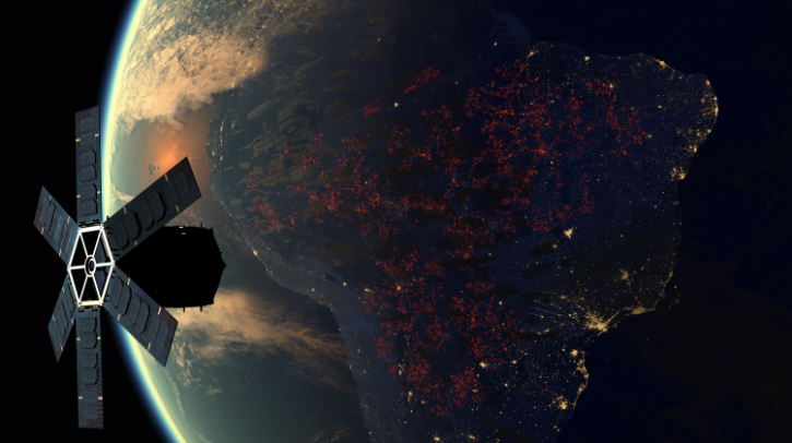
In a report published in the peer-reviewed International Journal of Remote Sensing, a research team at the Universidade Federal do Amazonas studied the Amazon rainforest and found that the Artificial Neural Networks model has ‘great potential’ for automatically detecting wildfires.
The technology reportedly drastically reduces the time needed to mitigate the devastating effects of wildfires. The findings report a 93% success rate when training the model via a dataset of images of the Amazon rainforest with and without wildfires. It is claimed that the technology could be used to complement existing AI systems to enhance early warning systems (EWS) and improve wildfire response strategies.
Artificial Neural Networks model
The Artificial Neural Networks model combines satellite imaging technology with deep learning – a subset of artificial intelligence (AI) and machine learning – to mimic the functioning of the human brain.
“The ability to detect and respond to wildfires is crucial for preserving the delicate ecological balance of these vital ecosystems, and the future of this Amazon region depends on decisive rapid action,” explained lead author Prof. Cíntia Eleutério of the Universidade Federal do Amazonas in Manaus. “Our study’s findings could improve wildfire detection in the Amazonian ecosystem and elsewhere in the world, significantly assisting authorities in combating and managing such incidents.”
This new technology uses a type of artificial neural network (the machine learning algorithm that uses a network of interconnected nodes to process data in a way that mimics the human brain) called a convolutional neural network (CNN) to classify areas of the rainforest affected by wildfires and improve the issue. The algorithms developed enhance their performance over time through exposure to increasing volumes of data.
Integrating satellite data
The research team used images sourced from the Landsat 8 and 9 satellites to train the CNN. These satellites are fitted with near-infrared and shortwave infrared, which together are critical for detecting vegetation changes and surface temperature alterations.
First, the CNN was trained on a dataset of 200 images of wildfires and an equal number of images without wildfires to ensure a balanced learning approach. Although small, this number of images proved sufficient for the CNN to achieve 93% accuracy during the training phase.
The CNN’s ability to distinguish between images with and without wildfires was then tested using 40 images not included in the training dataset. The model correctly classified 23 of the 24 images with wildfires and all 16 of the images without wildfires, underscoring its robustness and capability for generalization, and showcasing its potential as a tool for effective wildfire detection.
“The CNN model could serve as a valuable addition, enabling more detailed analyses in specific regions. By combining the wide temporal coverage of the current sensors with the spatial precision of our model, we can significantly enhance wildfire monitoring in critical environmental preservation zones,” stated co-author Prof. Carlos Mendes.
“The model has the potential to significantly assist competent authorities in combating and managing such incidents, providing an advanced and more localized approach to wildfire detection,” Mendes continued. “It serves as a complement to well-established large-scale monitoring systems, such as the satellite-based Moderate Resolution Imaging Spectroradiometer (MODIS) and Visible Infrared Imaging Radiometer Suite (VIIRS), which are widely used for continuous wildfire detection.”
The authors recommend increasing the number of training images for CNN to work on, which “will undoubtedly lead to a more robust model”.
They also suggest other applications that could be explored – such as monitoring and controlling deforestation.
Amazon rainforest wildfire analysis
The researchers highlighted that there were 98,639 wildfires in the Amazon in 2023 alone. The Amazon rainforest accounted for a significant portion (51.94%) of wildfires in the Brazilian biomes. In recent years, this area has reportedly experienced a notable increase in such incidents. Currently, monitoring in the Amazon is provided with near-real-time data. However, according to the team, this has moderate resolutions and a limited ability to detect details in remote areas or smaller fire outbreaks.
In related news, researchers from the Institute of Oceanology of the Chinese Academy of Sciences (IOCAS) have developed a new model for forecasting rapid intensification (RI) of a tropical cyclone (TC) based on ‘contrastive learning’. This study was published in the Proceedings of the National Academy of Sciences (PNAS). Click here to read the full story.


