A new system for early warning of coastal flooding has gone into operation in the Fiji islands.
The new platform will help save lives and protect property in low-lying, populated coastal areas among the 330 islands that make up the South Pacific nation.
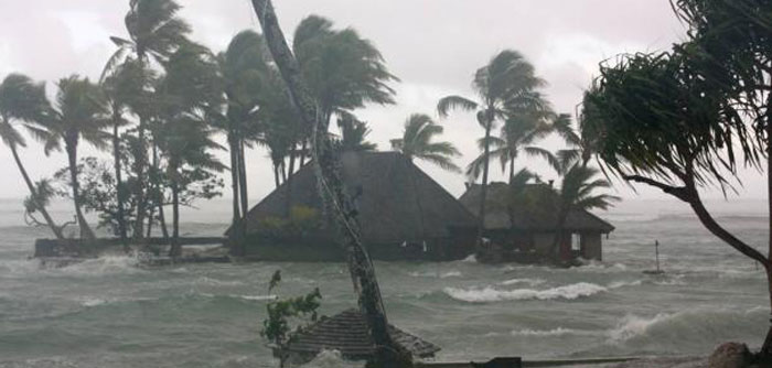
Fiji is particularly vulnerable to flooding, with the risk from tropical cyclones and dangerous storm surges exacerbated by shallow coastal shelves in the northern portion of the country. Meanwhile Fiji’s southern seaboard is vulnerable to flooding from swell caused by storms formed in the Southern Ocean near Australia and New Zealand.
This vulnerability was made clear in 2016 with the devastation caused by Cyclone Winston, a category 5 storm that killed 44 people, most from drowning, and caused US$1.4 billion in damages. Experts say Fiji’s flood risk is likely to be made worse by the effects of climate change and the accompanying sea level rises.
Fiji’s new platform was developed in response to Cyclone Evan, a category 4 storm that hit Fiji in 2012, causing flooding and estimated losses of more than US$100 million.
In the aftermath of Evan, the Fiji Meteorological Service (FMS) reached out to the Coastal Inundation Forecasting Demonstration Project (CIFDP), a WMO initiative that offers assistance to countries developing coastal early warning forecasting systems.
The Fiji CIFDP, which was funded by Korea and developed in collaboration with a team of international meteorological experts, has just completed a six-year demonstration phase.
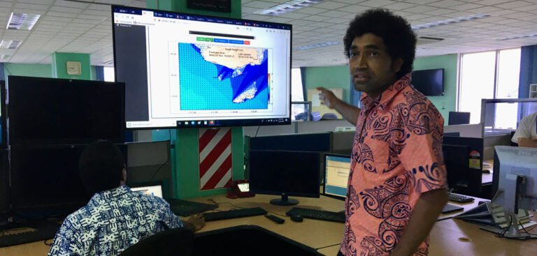
According to the FMS the new system will greatly enhance its ability to offer science-based warnings of coastal inundation along Fiji’s Coral Coast and flood warnings on inland waterways such as the Nadi River.
FMS director Misaeli Funaki said there were also plans to expand the storm surge forecasting system to other Pacific island nations “through WMO’s Regional Specialized Meteorological Centre Nadi.”


