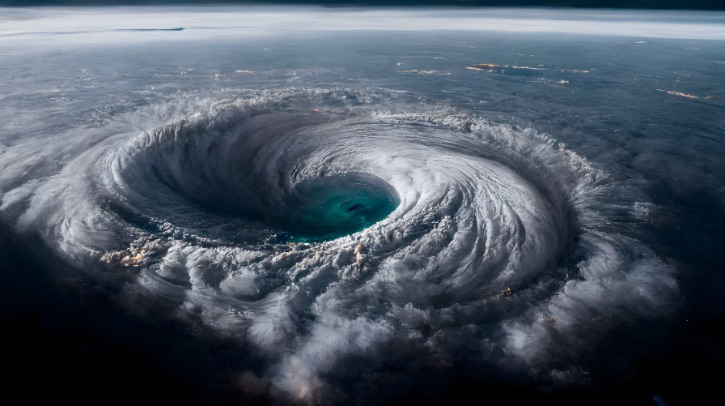
A study by the US National Science Foundation National Center for Atmospheric Research (NSF NCAR) has found that increased atmospheric moisture may alter critical weather patterns over Africa, making it more difficult for the predecessors of many Atlantic hurricanes to form.
The study was published in the paper Moisture Dependence of an African Easterly Wave within the West African Monsoon System in the Journal of Advances in Modeling Earth Systems, and was written by Kelly M Núñez Ocasio, Chris A Davis, Zachary L Moon and Quinton A Lawton.
Hurricane hypothesis
Past research has suggested that warmer ocean water and a moister atmosphere could cause hurricanes to become more intense with greater amounts of rainfall. However, how atmospheric moisture, which is predicted to increase in a warming climate, may be affecting hurricane formation itself had not been studied in detail until now.
The researchers found that a moister environment produced weaker and slower-moving African easterly waves, or disturbances which are the primary precursor or “seed” for hurricanes in the Atlantic. The addition of moisture moved the location of thunderstorms within the wave, making it harder for the wave to grow. Increased moisture also slowed the movement of the wave resulting in weaker and delayed hurricane seed formation by the time it reached eastern Atlantic waters.
“Considerable work during the last two decades has emphasized the role of deep moist convection to explain the development of African easterly waves,” said NSF NCAR scientist and lead author Kelly Núñez Ocasio. “However, the precise role of moisture has proven somewhat elusive. With the development of new modeling capabilities, I was able to focus on the role of moisture in cyclogenesis stemming from the hurricane seed.”
Next-gen modeling
The research team turned to the Model for Prediction Across Scales (MPAS) due to its ability to model weather both locally and globally. The model enables higher-resolution simulations of hurricane formation than ever before. This ensured researchers could study the effects of increased regional moisture over Africa, which is the birthplace of weather systems that later produce hurricanes over the Atlantic.
This capability enabled Núñez Ocasio and her colleagues to zoom out and simulate global moisture and then zoom in to see how that would interact with localized weather events that lead to the formation of tropical cyclones.
The researchers started the experiment by using MPAS to reproduce a moisture-driven African easterly wave that became hurricane Helene in 2006. The team used that base to add or take away moisture and study what happened with those changes.
“When I increased the moisture we saw more convection and thunderstorms, which is to be expected; however, we discovered that the waves struggled to pair with the more intense and deep convection,” said Núñez Ocasio. “With increased moisture, the energy source of tropical cyclone seeds moved north and further away, reducing the kinetic energy available to the African easterly wave, which led to weak, energy-starved tropical cyclone seeds.”
The team noted that as studying the evolution of tropical cyclones after this initial phase was outside the scope of this study, more research is needed to discover whether these weaker seeds lead to weaker tropical cyclones and hurricanes or if it will just take them longer to form.
The conditions leading to tropical cyclone formation are complex, but the researchers hope these newer modeling techniques will lead to better predictions. For instance, Núñez Ocasio is beginning to run simulations where she alters other atmospheric variables key to generating tropical cyclones.
“In addition to moisture, I’m altering other variables in the model to more realistically reproduce a future climate scenario in collaboration with Erin Dougherty, NSF NCAR project scientist,” she said. “So far, I’m seeing similarities to the results of this study even as I alter those other significant pieces.”
In related news, researchers recently had to create new metrics to better quantify turbulence due to the extreme turbulence experienced by NOAA’s WP-3D Orion Hurricane Hunter aircraft ‘Kermit’ (NOAA42) flight through Hurricane Ian. Click here to read the full story.


