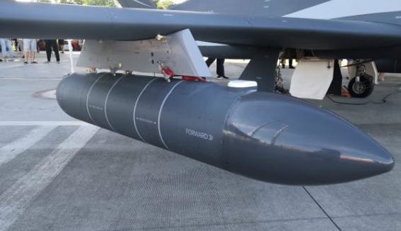
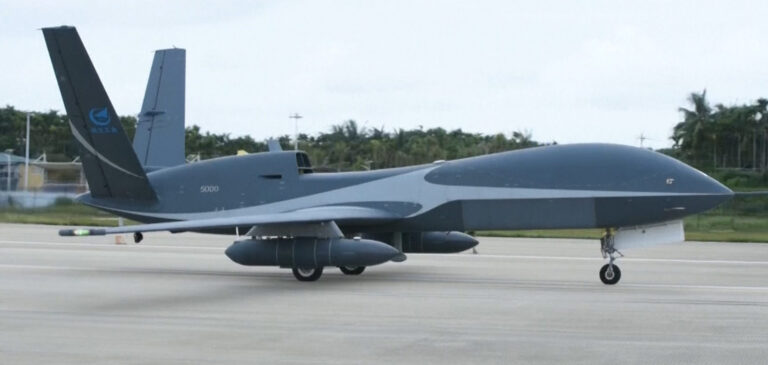
As the third typhoon of the season, Sinlaku, hit Hainan on the southernmost tip of China in early August, an unmanned aerial vehicle (UAV) was launched from the province’s Bo’ao Airport with a mission to drop 30 sondes in order to conduct a three-dimensional CT scan of the peripheral typhoon’s cloud system as well as gathering millimeter wave radar measurements.
The China Meteorological Administration (CMA) said that this was the first large-scale use of UAVs for typhoon monitoring when the storms were still out at sea. The deployment provided real-time vertical profiling observation data such as temperature, humidity, air pressure, wind direction and hydrometeor of the peripheral cloud system of the typhoon, all of which was transferred to the agency’s ground commanding system.
According to Qian Chuanhai, director of the Typhoon and Ocean Meteorological Prediction Center at the CMA, despite the steady progress of typhoon prediction capabilities in China, a lack of marine observation data has limited research into typhoon generation principles and prediction technology development. He noted that the data from this experiment has provided crucial reference information enabling the location of the center of the typhoon, greatly assisting China’s abilities to track the storms and predict their intensity.


