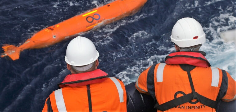
The National Oceanic and Atmospheric Administration (NOAA) has joined forces with the ocean technology company Ocean Infinity in a project to explore and map deep water around the coastal USA.
As part of the agreement Ocean Infinity will develop deep-water autonomous technologies that can gather ultra-high-resolution video of the deep ocean and transmit ocean information in real time. The four-year agreement will also focus on developing new data-collection and processing methods to increase the value and relevance of deep-ocean data.
“This new partnership will help us more efficiently execute NOAA’s mission to advance unmanned drone systems and artificial intelligence to explore and map the United States Exclusive Economic Zone (EEZ),” said Neil Jacobs, PhD, acting NOAA administrator.
“Data and information about the ocean help our nation advance our Blue Economy, including maritime commerce, domestic seafood production, healthy and sustainable fisheries, coastal resilience, energy production, tourism and recreation, environmental protection and national security.”
Only 43% of the 3,400,000 square nautical miles that comprise US territory underwater is “mapped to modern standards”, according to NOAA, which hopes that the Ocean Infinity partnership will play an important role in helping it reach its goal of fully mapping the US EEZ.


