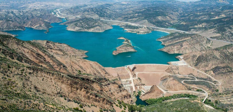
The US government has issued an action plan to improve water prediction in the western USA. The action plan came after a directive issued last year by the Trump administration promoting the reliable supply and delivery of water in the West.
Meeting the water needs of populations in the West is becoming increasingly complex with some experts predicting climate change could reduce rainfall in the region by as much as 25% in the coming years.
The action plan – a joint project between NOAA and the US departments of Commerce and the Interior – aims to improve the region’s water security by focusing on four areas for improvement: enhance weather forecasts for water prediction; better use of water forecast data to improve water management; better science and technology to improve prediction; and better integration of water availability assessments at the national and local level.
Some parts of the action plan are already partially or fully completed.
For example, NOAA’s new global forecast model paves the way for enhanced numerical weather prediction, including improved water prediction.
NOAA has also put in to operation version 2.0 of the National Water Model, which simulates and forecasts water conditions on more than five million miles of rivers and streams using data from more than 8,000 US Geological Survey gauges.
An updated version of the water model – Version 2.1 – that includes several enhancements to improve forecast accuracy will be implemented in 2021.
A new ensemble forecasting service has also been deployed by NOAA in two western river systems and three new river locations where there is a reservoir in-flow.
NOAA is also working on a system for integrating water forecast data with reservoir operations, with a pilot test of the system currently under way at California’s Lake Mendocino.
“Over the next three years, we will enhance our modeling tools for connecting accurate precipitation forecasts into surface water availability forecasts,” said deputy NOAA administrator Tim Gallaudet.


