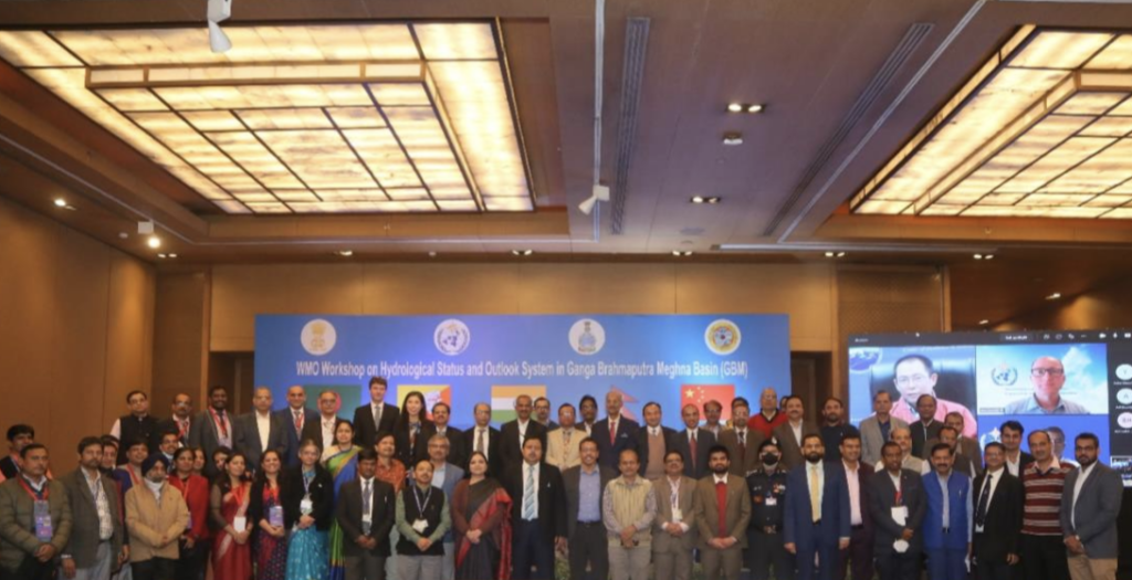
The WMO has met with the India Meteorological Department (IMD) to hold a regional workshop to discuss the application of its Hydrological Status and Outlook System (HydroSOS) in the Ganga Brahmaputra Meghna (GBM) river basin.
Shared by Bhutan, Bangladesh, India and Nepal, the GBM Basin is spread over 1.7 million square kilometers. It has a population of more than 500 million, making it one of the most populated river basins in the world. According to the WMO, the basin faces many challenges, leading to inadequate water resources management. Floods and droughts are common, with environmental, social and economic consequences.
The HydroSOS will aim to provide an operational system capable of assessing the current hydrological status of the basin and its likely near-future outlook.
WMO believes that the development and implementation of a free, open-source, sustainable HydroSOS would be a major step forward for water management and disaster risk reduction in the basin. Specifically, it would boost the operational capabilities of national meteorological and hydrological services, water managers and institutions responsible for flood and drought monitoring, forecasting and warnings.
Dr M Ravichandran, secretary of the Government of India’s Ministry of Earth Science, said, “HydroSOS will enhance the capabilities of subseasonal to seasonal prediction and the impact-based climate and weather forecasting modeling system for predicting available water status and its outlook. We appreciate the effort of WMO in building such programs across the countries for improving the forecasting of riverine basins. The initiative of HydroSOS calls us to work together.”
Dr Johannes Cullmann, WMO director of water and cryosphere, highlighted the importance of multi-stakeholder involvement and scientific tools and products as the basis of solutions and services for climate change adaptation and sustainable development. He said that HydroSOS embodies this approach and would bring major benefits not only in the GBM basin but also in other basins of the world.
HydroSOS is being developed by WMO and partners as a global operational system capable of assessing the current and forecast status of surface and groundwater hydrological systems.
Although the system’s information and products will be global, they will also be provided at regional and national scales. The operational system will support the activities of national meteorological and hydrological services and provide easily accessible hydrological information and products that can be made accessible to government bodies, regional and international aid agencies, and the general public.
The HydroSOS project pre-concept for the GBM basin will be finalized and submitted to the Adaptation Fund during January 2022 for funding.


