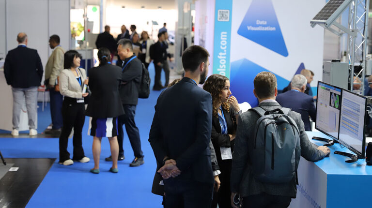
It’s been another exciting day at Meteorological Technology World Expo in Vienna, Austria, with visitors descending on the Messe Wein from all over the world to see the very best technologies and services the industry has to offer. Read on to find out what’s been catching their eye today
AEM showcases multi-source ignition detection
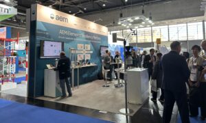 AEM is showcasing its new multi-source ignition detection capability at Meteorological Technology World Expo. This cutting-edge technology, now integrated into the company’s AEM Elements 360 application, dramatically enhances wildfire detection and collaborative resilience by harnessing data from multiple sources, including AI Smoke Detection, to provide unmatched speed, accuracy and confidence in identifying and confirming wildfire ignitions.
AEM Elements 360 is designed to centralize and analyze data from a broad array of advanced technologies, including visual smoke detection, lightning detection, satellite hot-spot monitoring, air quality sensors and advanced fire weather data. By integrating these diverse data points into a single, user-friendly application, AEM empowers fire management professionals, utility companies and emergency responders to detect and verify potential ignitions faster and with greater precision than ever before.
A standout feature of this enhanced wildfire detection capability is the state-of-the-art AI Smoke Detection. Using sophisticated machine learning algorithms trained on millions of images, this technology continuously monitors high-risk areas via strategically placed cameras, identifying and alerting users to potential smoke plumes in under a minute. With industry-leading location accuracy and 24/7 surveillance, AEM’s AI Smoke Detection sets a new standard for speed and reliability in visual smoke detection.
“Being at Met Tech Expo is an exciting opportunity for us to showcase how we’re helping organizations protect themselves from escalating environmental risks,” said Mark Miller, chief commercial officer at AEM. “We’re here to demonstrate how the AEM Elements Resiliency Platform is revolutionizing disaster management. Our goal is to connect with forward-thinking customers and partners who share our vision of improving outcomes by fostering collaboration across stakeholders. Hazards don’t follow boundaries, and neither should our efforts to prevent and mitigate them. This show provides the perfect venue to spark those critical conversations and partnerships.
“We’re eager to engage with national, state and local agencies, commercial organizations and technology partners who are committed to pushing the boundaries of disaster resilience. Collaboration is essential, and we believe that by working together we can shift the focus from reactive responses to coordinated prevention and preparedness.”
Booth 5000
Sommer highlights its innovative snow and hydrology sensors
 Sommer is presenting three new products at this year’s show. The first is a snow-depth sensor that uses new laser technology to provide highly detailed information about the snow depth and improve the resolution of snow depth measurements. The cutting-edge heating technology means the sensor can be used in solar-powered applications.
Sommer’s second new product to be released at the show is its handheld non-contact radar to revolutionize the surface water market and make spot measurements easier and faster. With a user-friendly interface and the support of mobile technologies, there are many options for future improvements, add-ons and new features.
The final product that Sommer is showcasing at the show is the newest version of the famous TQ-Tracer, a discharge instrument that requires no cross-sectional information to obtain fast, accurate measurements. The design of new version was based on user experience and feedback.
The company is at the show to meet valued customers and partners, receive feedback on its products and discuss new ideas.
Booth 5020
InterMet introduces new aircraft for targeted boundary-layer soundings
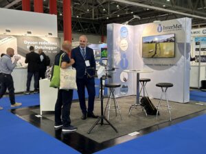 InterMet Systems is a global supplier of radiosondes, meteorological sounding systems and WxUAS (drone) technology. Its newest product, the CopterSonde 3, is the star of the company’s booth, where a complete CopterSonde 3 aircraft is prominently displayed, with three of InterMet’s most knowledgeable employees ready to engage with visitors.
The CopterSonde 3 represents a revolutionary advance in atmospheric boundary layer weather observation technology. It is a fully featured weather drone (measuring pressure, temperature, humidity and winds) and is the result of years of fully documented tests and research campaigns. Developed by researchers at The University of Oklahoma, the CopterSonde 3 has important features that InterMet says customers won’t find anywhere else.
Wind Vane Flight Mode delivers the most accurate wind speed and wind direction derived from the aircraft’s motion as it ascends vertically. A front-mounted, fan-driven air intake scoop draws clean air past the sensors, ensuring that measurements are not contaminated by the heat of the propellers or battery.
A triple temperature and humidity sensor package provides added confidence in observations, and a simple maintenance concept enables efficient sensor calibration by swapping out the sensor assembly.
Alana Dachtler, vice president of sales and marketing at InterMet, said, “InterMet has been an exhibitor at the Met Tech Expo since the forum was established. This has always been a great venue to connect with customers, and we’re excited to introduce our latest technology for drone-based ABL weather observations to the weather community. We are eager to meet with the technology-savvy customers who are ready to adopt a new platform for weather observation that will significantly enhance our understanding of the atmosphere.”
Booth 6028
MFI puts its new Early Warnings for All solution on show
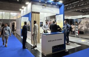 MFI has been offering innovative meteorological information systems for over 20 years. Its range of software covers the whole meteorological value chain from observation data collection to weather and climate service delivery for end users. In collaboration with experts from Météo-France (its mother company), MFI works constantly to improve its solutions for more efficiency, usability and more relevance with regard to the challenges created by climate change.
At the expo, MFI is presenting the latest versions of its forecasting and production solutions and giving live demos of its flagships systems: Synergie-Web (integrated forecasting workstation) and MeteoFactory (PWS/EWS production system). The company’s experts on the booth are highlighting innovative features such as digital forecast and impact-based forecast, which enable national hydrometeorological services to better protect people and goods.
“We are very happy to participate in the Meteorological Technology World Expo and be able to share our new technologies and new concepts with the international community of meteorology and climate,” said Jean-Sébastien Cases, VP of sales and marketing. “We are particularly impatient to meet decision-makers from national hydrometeorological services from around the world to show them our W4ALL concept, which we believe is the only all-in-one solution currently on the market to respond to the Early Warnings for All call. The deadline set by the United Nations is for end of 2027 so we need to get things moving! We are ready to discuss with all visitors the technical solutions and global approach we propose to efficiently implement relevant early warning and early action value chains.”
Booth 5050
Purple Pulse Lidar Systems presents water vapor and temperature profiling lidar system
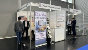 At Meteorological Technology World Expo 2024 in Vienna, Austria, Purple Pulse Lidar Systems is presenting its lidar system, which reportedly provides unequaled resolution and accuracy in water vapor and temperature profiling.
The lidar operates via a diode-laser-pumped laser transmitter. The solution then harvests its findings using a receiver with filter technology. This system then passes the information to a low-noise, high-bandwidth data acquisition system, which reports the real-time water vapor, temperature, aerosol and cloud profiles. The solution can be applied in data assimilation with short latency, severe weather warnings, process studies and understanding, climate monitoring, model verification and the verification of other observing systems.
According to the company, the Purple Pulse Lidar System is the first remote sensing instrument that meets the WMO requirements for water-vapor and temperature measurements throughout the lower troposphere up to 1.7km (< 2% at 5 min, 100m res). The company has also highlighted that the technology has a high vertical and temporal resolution at day and night and high resolution of lids and inversions. It can measure real atmospheric boundary layer height alongside other variables like relative humidity, potential temperature and particle extinction coefficient. The compact, vertically pointing system design can also undertake 3D scanning, upon request.
Volker Wulfmeyer, director of Purple Pulse Lidar Systems, commented, “The active, remote sending system is based on the Raman technique, which provides water vapor and temperature profiles with unprecedented resolution and accuracy.
In his 2021 paper Raman Lidar for Water Vapour and Temperature Profiling, written with Andreas Behrendt, Wulfmeyer outlined that the Raman lidar technique is a refinement of the lidar method and that in addition to the measurement of particle optical properties, it permits the simultaneous profiling of the water vapor mixing ratio and temperature with high range resolution and accuracy. This technique does not require a laser transmitter with a certain wavelength; it uses standard high-power lasers. Certain portions of the spectrum of the atmospheric backscatter signal are extracted as measurement signals. The noise and systematic errors in each profile can be characterized, which is a fundamental requirement for many applications.
Wulfmeyer continued, “We’re here at Meteorological Technology World Expo because it’s the best exhibition to demonstrate to this community of experts. With this technology, we can demonstrate that we really achieve extraordinary accuracy profiles. It’s also fantastic for temperature – we are in the range of a few 10s of Kelvins accuracy. Another important thing to mention is that we have an extraordinary temporary spatial resolution. Now the raw data output usually only takes 10 seconds to get an accurate water vapor temperature profile, with a resolution in the near range of 10m or so, and then throughout the troposphere, up to the troposphere. It’s very important to have this vertical resolution because you want to see the vertical structures of temperature layers, inversion layers, etc.
Booth 9044

The expo still has one day left to run! Click here to secure your free entry pass now.


