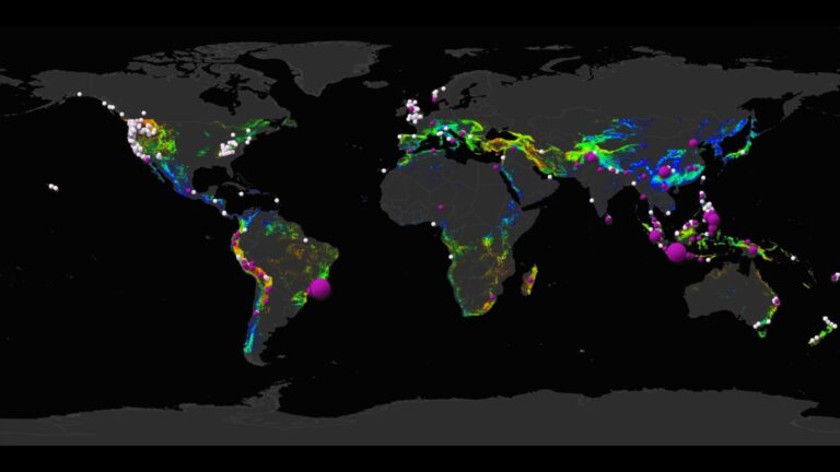
A new nowcasting model for Rio de Janeiro will provide real-time forecasting for landslides, a frequent threat in the Brazilian city.
The model, known as the Landslide Hazard Assessment for Situational Awareness (LHASA), was developed by staff at NASA’s Goddard Space Flight Center in Maryland.
To make its predictions the model draws on a number of datasets including past rainfall data, hill slope angles, local rock and soil types, levels of deforestation and the proximity of geologic structures like fault lines.
It was launched this October after an US$11,000 installation.
Because of its steep slopes and frequent rainfall landslides are a common hazard in Rio. Earlier this year, for example, landslides led to the collapse of coastal slope, destroying a cycling lane.
Prior to the launch the model was successfully tested during the 2018/2019 rainy season, said Felipe Mandarino, a city information coordinator.
“We had landslides, and I was looking at the model in real time and saw that the model was mapping a hazard – and, in fact, landslides happened,” Mandarino told Science Insider.
Mandarino said the model will complement the city’s current landslide warning system, which is a siren-based system used to alert residents in the most at-risk areas, mostly located in the city’s favelas or slums.
“The new LHASA model will be used for the parts of the city that do not have the sirens, which is certainly the biggest part of the city in terms of area – 98% or something like that,” Mandarino said.


