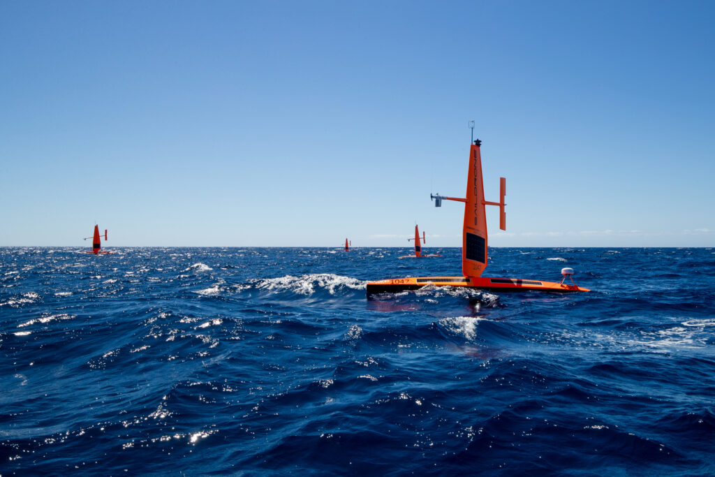
Autonomous technology developer Saildrone has officially opened its new ocean mapping headquarters and operations center in St. Petersburg, Florida.
Situated in the new Maritime and Defense Technology Hub, the location will be a permanent deployment site for Saildrone missions, including the launch of uncrewed surface vehicles (USVs) for hurricane monitoring during the 2022 Atlantic hurricane season, which begins on June 1, and supporting local initiatives such as the Florida Coastal Mapping program, which aims to obtain high-resolution seabed data of Florida’s coastal waters.
Saildrone made global headlines in September 2021 for capturing the world’s first video from inside a category 4 hurricane while collecting critical data to help scientists understand hurricane intensification. Some months earlier, Saildrone carried out the world’s first autonomous ocean survey mission from San Francisco to Hawaii.
Richard Jenkins, founder and CEO, Saildrone, said, “New high-resolution maps of the seabed are essential to help Florida protect communities, grow its blue economy, and facilitate sustainable aquaculture and alternative energy. Uncrewed systems can do far more, with far less investment than traditional approaches, so we are excited to play a role in bringing a brighter future to Florida.”
Brian Connon, vice president for ocean mapping, Saildrone, added, “According to the Florida Ocean Alliance, Florida’s Blue Economy in coastal counties generated more than US$797bn of economic value, or 77% of the state’s more than US$1tn economy, in a single year. It is essential that this region is well understood and protected.”
Alongside its ocean mapping missions, Saildrone plans to deploy maritime security missions from the hub, helping authorities tackle challenging issues on the water like illegal fishing and the trafficking of drugs.


