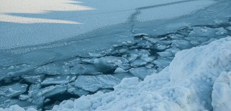
Research led by the University of Washington (UW) has shown that sea ice loss from the strongest Arctic cyclone ever observed was far higher than models had suggested.
Although weather forecasts accurately predicted the storm, which struck northeast of Greenland in January 2022, ice models significantly underestimated its impact on the region’s sea ice.
Although the storm was the strongest Arctic cyclone ever observed poleward of 70° north latitude, the study suggests that existing models underestimate the impact of big waves on ice floes in the Arctic Ocean.
Ed Blanchard-Wrigglesworth, lead author and research assistant professor of atmospheric sciences at the UW, said, “The loss of sea ice in six days was the biggest change we could find in the historical observations since 1979, and the area of ice lost was 30% greater than the previous record. The ice models did predict some loss, but only about half of what we saw in the real world.”
Accurate sea ice forecasts are important safety tools for northern communities, mariners and others operating in Arctic waters. The accuracy of forecasts in the Arctic Ocean also has broader effects.
“The skill of a weather forecast in the Arctic affects the skill of weather forecasts in other places,” Blanchard-Wrigglesworth said.
The January 2022 cyclone had the lowest pressure center estimated since satellite records began in 1979 above 70° north. It was an extreme version of a typical winter storm.
According to the researchers, climate change does not appear to be responsible for the cyclone, as they were unable to find a trend in the strength of intense Arctic cyclones since 1979, and sea ice area was close to the historical normal for that region before the storm hit.
During the storm, record winds howled over the Arctic Ocean and waves grew to 8m tall in open water and remained strong as they traveled through the sea ice. The ice heaved 2m up and down near the edge of the pack, and NASA’s ICESat-2 satellite shows that the waves reached as far as 100km toward the center of the ice pack.
Six days after the storm struck, the sea ice had thinned significantly in the affected waters north of Norway and Russia, in places losing more than 0.5m of thickness.
Melinda Webster, co-author and a research assistant professor at the University of Alaska Fairbanks, and who begins a research position at the UW Applied Physics Laboratory in the new year, said, “It was a monster storm, and the sea ice got pummeled. And the sea ice models didn’t predict that loss, which suggests there are ways we could improve the model physics.”
The new analysis shows that the atmospheric heat from the storm had a small effect, meaning some other mechanism was to blame for the ice loss. Possibilities include sea ice that was thinner before the storm hit than models had estimated; that the storm’s waves broke up ice floes more forcefully than models predicted as they penetrated deep into the ice pack; or that waves churned up deeper, warmer water and brought it into contact with the sea ice, melting the ice from below.
The unexpected ice loss, despite an accurate storm forecast, suggests that this is an area where models could improve. The researchers hope to monitor future storms to pinpoint exactly what led to the dramatic sea ice loss, potentially by placing sensors in the path of a future approaching storm.
Although this storm doesn’t appear to be linked to climate change, the increase of open water as sea ice melts is allowing for larger waves that are eroding Arctic coastlines. Researchers say that those waves could also affect the remaining sea ice pack.
“Going into the future, this is something to keep in mind, that these extreme events might produce these episodes of huge sea ice loss,” Blanchard-Wrigglesworth said.
The other co-authors of the study are Linette Boisvert at NASA, Chelsea Parker at NASA and the University of Maryland and Christopher Horvat at the University of Auckland and Brown University.
To view the complete study published in the Journal of Geophysical Research: Atmospheres, click here.


