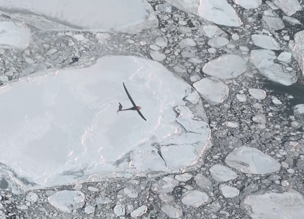
A team led by NASA is demonstrating how a fixed-winged drone equipped with radar instrumentation can be used to fly over the Arctic Ocean measuring the depth of snow accumulating on top of sea ice.
The team hopes that by testing the drone, nicknamed Vanilla, and snow radar instrument together, the data may be able to more accurately track and project how Earth’s polar regions are changing and influencing sea level.
The additional layer of snow over sea ice in the Arctic means that even some of NASA’s most powerful altimeter systems in space struggle to measure the thickness of the ice. It is hoped that data from drones flying at low altitudes will help scientists to measure the changing thickness more accurately.
Brooke Medley, a research scientist at NASA’s Goddard Space Flight Center in Greenbelt, Maryland, who leads the project, said, “The same technique could eventually be used to assess how freshwater melting from Greenland and Antarctica contributes to sea level rise.”
In November 2021, Vanilla flew for six hours over open ocean and sea ice more than 130 miles (222km) from an airport in Deadhorse, Alaska.
By flying in more temperate weather for eight days straight in 2021, Vanilla earned the world record for continuous flight without refueling by a remotely piloted aircraft with internal combustion engine.
Vanilla flew with ice-detecting sensors, heating systems, and a special anti-icing coating to protect against fog and moisture that can quickly ice its wings and propeller. The aircraft also runs on a diesel engine, which helps to regulate heat unlike battery-operated drones.
“Drones have come a long way, enough that they can start to be more than just quadcopters flying locally and looking at your neighborhood,” Medley says. “Flying drones is ultimately more green and safer than flying large planes, so this checks a lot of boxes.”
To read more about NASA’s Vanilla drone Arctic snow depth missions, click here.


