The Finnish Meteorological Institute (FMI) has released research dedicated to developing improvements to monitoring the freeze/thaw (F/T) state with synthetic aperture radar (SAR) satellites.
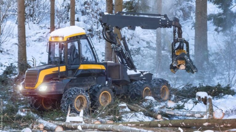
The new study presents significant improvements to the existing methods, such as taking into consideration changes in the summer season. Soil F/T information is useful, for example, for users of heavy equipment, such as forestry machines – as soil freezing has a significant effect on the bearing capacity.
Soil F/T state in the boreal forest was mapped using microwave L and C band SAR satellites. The study showed that the F/T state can be detected with good accuracy at both frequencies. The lower frequency L band is more suitable for soil F/T state detection, as it is less sensitive to vegetation and snow cover, and it enables deeper penetration into the soil. However, the weaknesses of the C band can be compensated by taking into account also the signal returning from the tree canopies in the calculation algorithm.
Based on the FMI’s previous research, a soil F/T product based on Sentinel-1 satellites covering almost the whole of Finland has been developed. According to the researchers of the latest study though, the new report presents significant improvements to the existing methods, such as taking into consideration changes in the summer season, a more advanced classification algorithm and wet snow information.
They also asserted that the availability of satellite L band SAR data is currently limited, but the European ROSE-L and American-Indian NISAR radar satellites that are to be launched in the next few years will offer a good opportunity to monitor the F/T state also at a lower frequency. The comprehensive SAR data set collected with the Japanese ALOS-2 satellite used in the research enabled the development of methods for soil F/T monitoring with L band in the boreal region in advance.
In the first phase of the study the researchers investigated the influence of soil and vegetation conditions on the backscatter, namely the intensity of the returning radar signal from the object. In particular, they focused on the effect of canopy freezing and backscatter changes from spring to autumn, because these topics have not yet been properly studied, although they are important in soil F/T state retrieval.
In the second phase, monitoring of soil F/T state was demonstrated for selected test areas in Finland. First, a forest model separating the backscatter contributions from the ground surface and the canopy was applied to the satellite observations. Then, suitable reference satellite acquisitions representing autumn (thaw), winter (freeze) and spring (thaw) conditions were identified. Finally, these were used in the classification algorithm to distinguish between frozen and thawed conditions, also using automatic in situ measurements of air temperature and snow depth.
Wet snow can prevent microwave radiation from reaching the ground surface. Hence, wet snow was detected as well, using the radar backscatter, air temperature and snow depth data, for enabling reliable estimation of the soil F/T state during the end of the winter. In the validation of the results, soil temperature and moisture measurements near the Arctic Space Centre located in Sodankylä were used.
In related news, a new report by Alexey Karpechko, research professor at Finnish Meteorological Institute, recently showed that monthly forecasts in mid and high latitudes would be improved if weather models better predicted variability in the stratosphere and tropical atmosphere. Click here to read the full story.


