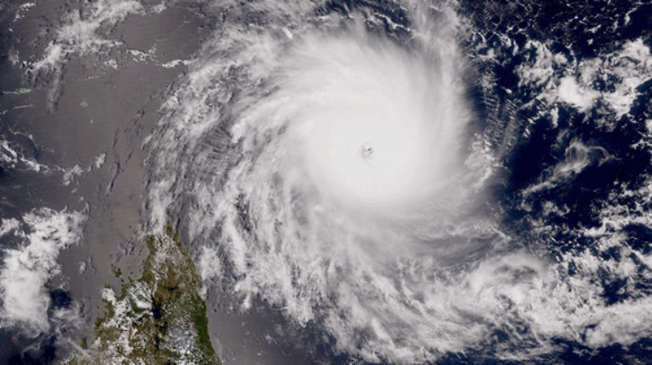
The French department of Mayotte is to install its first Météo-France radar. This system is projected to refine existing data from the satellite network and rain gauges and better anticipate extreme events. Construction of the forecasting tool will be completed by the summer of 2027, with major work and preliminary studies launched in 2025.
Radar operations
The installation of a radar in Mayotte is intended to improve the anticipation of extreme events, and therefore the prevention of risks associated with heavy rains, whether related to tropical cyclones or smaller-scale phenomena. It will be able to identify precipitation within a radius of 250km around the island, and quantify it up to 100km, with the resolution of a kilometer. It will also allow better management of the water resource.
The data from the radar will be directly used by Mayotte forecasters, and by the Météo-France teams located in Réunion, who are in charge of cyclonic monitoring for the entire southwest Indian Ocean basin, as well as by the National Forecasting Centre in Toulouse. In the longer term, forecasters will be able to deploy relevant warning services regarding heavy rains.
Mayotte was previously the only French department that was not covered by radar information. The installation of the new equipment has been made possible by the mobilization of all state services. The radar will complement the existing forecasting system and a network of rain gauges already on the ground.
Mayotte’s local weather challenges
The territory of Mayotte is exposed to dynamic tropical phenomena (monsoon flows, tropical cyclones, etc), often accompanied by intense rains. In December 2024, tropical cyclone Chido hit the island with devastating consequences for the population and the territory. Less than a month later, in January 2025, Tropical Storm Dikeledi brought torrential rains to the south of the island. In the wet season, thunderstorms can also be intense (but more localized) and generate a lot of damage.
According to Météo-France, the radar will make a major contribution to the safety of people and property in the archipelago as it will better detect approaching precipitation, better target the impacted sectors and better define the chronology of episodes of intense rains. It is also expected to be a valuable tool to support the management of water resources.
Agnès Pannier-Runacher, Minister of Ecological Transition, Biodiversity, Forestry, Sea and Fisheries, said, “The installation of this new radar will make it possible to better protect the Mahoraises and the Mahorais. Mayotte was the only French department not to have radar coverage; I wanted to complete this project essential to the safety of the inhabitants at all costs. On-site, I saw the relief and satisfaction of the teams who will now be better equipped to anticipate climatic hazards. ”
In related news, Météo-France recently launched the fifth in a series of meteorological buoys on the western front of the Mediterranean, northwest of Corsica. This deployment forms part of the organization’s plans to strengthen its sea observation system, which began in June 2023 with the deployment of the first of the five anchored meteorological buoys, and is intended to improve the local ability to anticipate extreme weather before it arrives on land. Click here to read the full interview.


