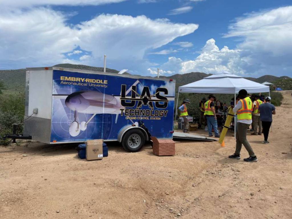
Researchers at Embry-Riddle Aeronautical University are looking for ways to improve forecasting to better predict flash floods and severe thunderstorm events affecting Arizona.
According to NOAA, the 2021 North American monsoon through July has been among the wettest on record for parts of Arizona, with Tucson recording its wettest month ever. Although the increased precipitation is a welcome relief for drought-stricken areas, it also brings the risk of damaging storms.
Dr Kevin Adkins, associate professor in the College of Aviation at Embry-Riddle Aeronautical University’s Daytona Beach Campus, said, “It has been a banner year for the North American monsoon. We were worrying upfront when we started planning for this last fall that there wouldn’t be a monsoon because the past three years have been really trivial types of events. We were lucky this year because where we’re at in Arizona, it was very active. Yet there are places this year that are very wet and yet within the same region, very dry. So, what type of fine-scale features result in that type of enhanced precipitation or the opposite? The overarching goal of our research is to better understand what triggers that very localized precipitation.”
Study participants deployed manned and unmanned research vehicles to provide near-continuous measurements of the lower atmosphere over the complex terrain found in northern Arizona.
“This was a very complex operation involving four multi-rotor unmanned aircraft systems (UAS), a fixed-wing UAS, manned aircraft, along with multiple weather balloon launches and a sophisticated distributed ground sensor network,” said Adkins. “The unmanned aircraft allowed us to investigate the unique weather phenomenon present during the monsoon season at a finer spatial and temporal scale than had ever been done before.”
In the case study published by meteorological instrumentation manufacturer Anemoment, the vehicles were fitted with a suite of meteorological instruments to detect and measure humidity, temperature, pressure and wind speed. By capturing data near the Earth’s surface as thunderstorms were forming, researchers hoped they would be able to effectively monitor the timing and location of convective cells. By improving their understanding of these processes, they aim to enhance forecasting of the flash floods and severe thunderstorm events that affect the region.
“We set up in areas of known hot spots for monsoon-associated convection and analyzed the role topography plays in that process,” said Adkins. “Specifically, what we were looking at is convective initiation with respect to the monsoon set up and how the topography of the area contributed to that. So, things such as flow channeling and how that may enhance and promote, or do the opposite for this type of convection.”
In launching the unmanned aircraft and weather balloons as storms were forming, researchers were able to capture detailed meteorological data from the lower atmosphere, an area that plays a critical role in the initiation of convective storms.
The Embry-Riddle team are currently analyzing the data captured, logging it and validating it before presenting their findings at the American Geophysical Union (AGU) Fall Meeting in New Orleans, Louisiana, in December 2021.


