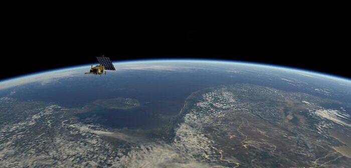
European meteorological satellite agency EUMETSAT has begun deorbiting Metop-A after more than 15 years of service, three times longer than expected.
The process will see the satellite spiral downward in progressively lower orbits until it disintegrates upon re-entering the Earth’s atmosphere, a process that is expected to end within the next 25 years.
The process of removing the satellite from its orbit began on November 15, when the satellite began to be lowered so that its point of orbit closest to the Earth decreased from 817km to about 530km.
During the deorbiting process, the satellite performed a maneuver in which it flipped upside-down so that the instruments that normally scanned the Earth instead scanned deep space. The data acquired during this process will lead to an improved calibration of the monitored environment, providing a new baseline for data processing which can be applied retrospectively to all Metop data already received, as well as to new data from the entire lifetimes of the two remaining satellites in the EUMETSAT Polar System, Metop-B and Metop-C, expected to operate until 2027 and into the 2030s, respectively.
Andrew Monham, spacecraft operations manager for EUMETSAT, said, “The data collected from Metop-A has been fundamental to improvements in weather forecasting accuracy throughout its 15-year lifetime, with annual socioeconomic value measured in the billions of euros. Equally important is the immeasurable contribution it has made to climate monitoring, atmospheric composition knowledge, and other environmental missions.
“I feel really proud of the team’s achievement for deorbiting the satellite safely. This has allowed Metop-A, which has served the environment on Earth for so many years, to now do its part for the space environment by exiting the crowded operational orbits that society relies on for its everyday needs, which in turn reduces the overall collision risk for every nation’s satellites,” he said.
Metop-A is notable for being the first satellite subject to an agreement between the USA and Europe that involved US instruments, provided by the United States National Oceanic and Atmospheric Administration (NOAA), being flown on a European satellite, operated by EUMETSAT.


