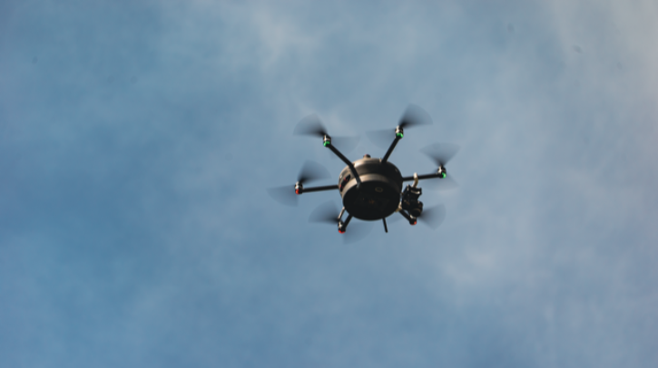
Through a multi-million-euro project, Meteomatics will deploy 30 of its autonomous weather drones, or ‘Meteodrones’, across Norway in collaboration with the Norwegian Research Centre (NORCE). This initiative forms part of the country’s work to futureproof itself against challenges to its economy, people and infrastructure.
Installation of Meteodrones
To forecast the weather in Norway more accurately, the 30 Meteodrones will be accompanied by Meteobases, which store and launch the drones. The installation of the Meteobases will begin this summer. A team of experts is currently evaluating meteorologically significant locations where the Meteodrones will have optimal access to aspects of weather modeling. The project is expected to be fully implemented and operational by the end of 2025.
Lack of data for precise forecasting
According to the partners, weather models have long been limited by insufficient observations from the atmospheric boundary layer, hindering accurate predictions of local weather phenomena, such as heavy rain, snow formation or thunderstorms. The only technology currently used for weather data from the lower and middle atmosphere is radiosondes on weather balloons. The partners also highlighted that because these single-use devices are dependent on the availability of helium for the balloon, radiosondes are very expensive and unsustainable.
In contrast, Meteodrones can carry out several measurement flights in longer time periods, enabling more extensive data collection compared to radiosondes. While radiosondes are typically used only two times a day, Meteodrones can fly every 30 minutes to collect atmospheric data.
Eliminating Norway’s gap in weather visibility
Meteomatics’ autonomous flight system can fly 6,000m (20,000ft) above the Earth’s surface. According to the company, this enables it to close a meteorological data gap in the lower and mid atmosphere – regions not regularly or accurately observed by traditional weather sensing technology and radar.
A new era of precision in meteorology
Meteodrones can capture high-resolution, direct measurements of critical meteorological elements such as temperature, humidity, air pressure and wind speed. The Meteodrone data is injected into EURO1k, the European high-resolution weather model, exclusively developed by Meteomatics. EURO1k is the only model to cover Europe, large parts of the East and parts of North Africa at a resolution of 1km and update every hour. The additional stream of weather data is intended to help the country understand the formation of severe weather events.
“NORCE will conduct scientific research to validate the EURO1K forecasts and compare their accuracy with other weather forecasts used by the Norwegian Army for tactical decision making,” said Camilla Stoltenberg, CEO of NORCE. “Meteomatics shows great confidence by allowing us to validate and share the performance of their weather forecasts. This demonstrates that independent scientific research can significantly contribute to the successful transfer of such technology to Norway.”
“We are honored to play a part in Norway’s forward-looking initiative to prepare itself for weather-related challenges. Our 30 Meteodrones and Meteobases will significantly improve the data basis for accurate weather forecasts across the entire country,” said Martin Fengler, CEO and founder of Meteomatics. “The technology readiness of our Meteodrones has already been demonstrated in several countries, and we’re excited to see our Meteodrones take flight in Norway.”
At this year’s Meteorological Technology World Expo in Geneva, Martin Fengler, CEO and founder of Meteomatics, discussed the company’s Meteodrone technology in an exclusive video. Click here to watch the full video.


