The impacts of climate change on the ocean are driving more frequent and intense extreme events at our coasts. International initiatives such as the United Nations Early Warning For All (EW4All) and the Global Ocean Observing System’s CoastPredict aim to revolutionize access to improved early warnings.
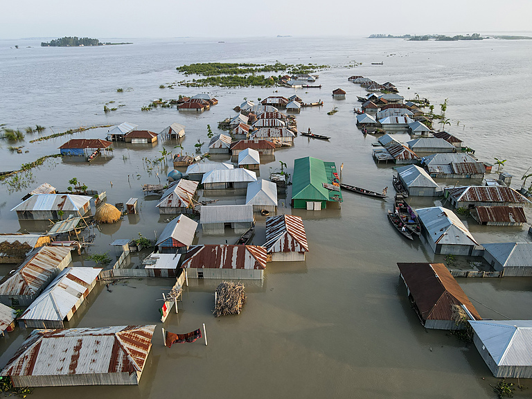
In low-lying coastal regions, approximately 900 million people are now facing a 15-fold higher risk of perishing from extreme events compared to other areas. They are at the forefront of the climate crisis, and access to improved daily warnings can help protect these coastal communities from the escalating threat of natural disasters.
Extreme events, such as flooding and storms, are becoming more frequent and intense due to climate change and its impacts on the ocean, such as increasing sea surface temperatures. The key to mitigating these threats lies in our ability to produce accurate and timely forecasts and warnings – a capacity that critically depends on the continuous flow of ocean data.
The EW4All initiative, led by the World Meteorological Organization (WMO), will be pivotal to improving extreme event forecasts and warnings. By 2027, EW4All aims to ensure everyone on Earth is protected by early warning systems for hazards that are becoming more acute with climate change. “Accurate and timely information about oceanic parameters forms the foundation of effective early warning systems that will enable us to reach this goal,” emphasizes Dr Albert Fischer, director of the infrastructure department at the WMO Integrated Global Observing System.

Ocean temperature, a key variable for early warnings
One key aspect of ocean observations for early warning systems is the monitoring of ocean temperatures. “Anomalies in sea surface temperatures can indicate the development of climatic phenomena such as El Niño or La Niña, which can have cascading effects on weather and climate patterns worldwide,” says Dr Johan Stander, director of the services department at WMO. The impacts of such hazards reach much further than just coastal areas. For example, as Australia is going through its 2023-2024 bushfire season, the onset of El Niño, which is associated with warmer temperatures, is threatening the country with an even more extreme fire danger.
“By continuously tracking temperature changes through satellite and oceanic observations, scientists can better predict and understand these phenomena, enabling national meteorological services to issue early warnings and seasonal outlooks, and take measures to mitigate the risks,” says Dr Stander.
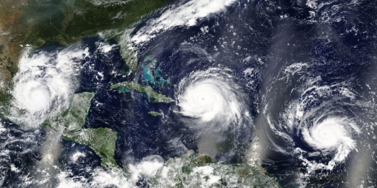
Warmer ocean temperatures also serve as fuel for intensifying tropical cyclones. Integrating more oceanic data into coupled ocean-weather forecast models significantly enhances the accuracy of tropical cyclone forecasts, greatly improving the prediction of storm intensity. Advancing such early warnings is vital for getting timely information to coastal communities, affording them time for evacuation and preparation.
Seamless data integration – from surface to deep and open to coastal ocean
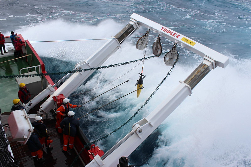
The seamless integration of data from satellites and oceanic instruments is vital for the effectiveness of EW4All. “Any delay or lack of real-time communication can impede the timely issuance of warnings and responses to potential threats, underscoring the importance of work toward continuous reliable and standardized data transmission,” says Cyril Honore, deputy director of the services department at WMO. These instruments, from moored buoys to autonomous gliders, combined with satellite observations, serve as an integral source of data for the EW4All service products and enable scientists to improve the prediction of dynamic ocean processes and their influence on weather and climate.
Increased oceanic as well as high spatial and temporal resolution satellite observations are also crucial for the Global Ocean Observing System’s (GOOS) CoastPredict program. Endorsed by the United Nations Ocean Decade, CoastPredict aims to transform and integrate coastal ocean observation and prediction to provide the information required to manage risk and plan for the long-term resilience of coastal communities in a changing climate.
“An integrated observing and forecasting system, from the open ocean to estuaries and beaches, is vital to anticipate the effects of climate change on coastal ecosystems, communities and infrastructure, and plan for mitigation and adaptation,” says Prof. Nadia Pinardi, co-chair of CoastPredict.
CoastPredict will leverage similarities between different regions globally to accelerate the development of replicable and relocatable systems for observing and predicting coastal waters. “International collaboration will be pivotal to overcome fragmentation of efforts and to ensure equitable access for communities in under-resourced nations,” adds Prof. Pinardi.

How can we address existing gaps?
The urgent need to address persisting spatial and temporal gaps in ocean observations, particularly in remote, less monitored regions, is crucial for delivering enhanced early warnings. These include particularly vulnerable areas such as small island developing states (SIDS), and where higher density observations are needed for ocean phenomena that strongly influence climate and weather. Strengthening observational infrastructure; expanding the deployment of ocean buoys, gliders and other observing instruments; and integrating data from diverse sources remain paramount to ensure the delivery of timely predictions and warnings.
WMO and GOOS continue to work together toward standardized, interoperable data collection and dissemination, promoting a more effective early warning capability on a global scale. “Through the integration of advanced technologies and international collaboration, ocean observations enhance our ability to safeguard vulnerable communities, reduce the impact of hazards, and save lives,” says Dr Emma Heslop, GOOS program specialist.
The conversation on climate action at COP28, happening in Dubai from November 30 to December 12, 2023, highlights the need for nations and the private sector to unite efforts in the continuous development of an integrated, fit-for-purpose ocean observing system. “GOOS and WMO call on nations to commit both financial and technical resources to advance the observing system and fill in the gaps for improved early warnings and coastal community resilience,” says Dr Heslop.
For more key early warning systems updates from the meteorological technology industry, click here.


